§地理图形系列
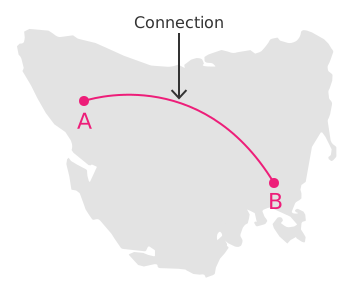
Connection Map
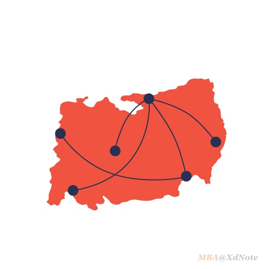
连接图用于结合地理数据显示网络。它可用于可视化航班转机、导入/导出或迁移流程,以及不同地点之间的任何类型的连接。
地理图形是基于地形数据的基础上运行数据可视化方式。 通用的地形数据一般是geojson等格式,数据内容包括了地图及地图内区域的绘制信息,并可用于测量与计算。 地理图形可化,一般需要被展示的数据包括了一项地理数据可以被映射到地图的区域上,与其它可视化的方法进行结合展示。
Europe's migration crisis
Migration Map of Europe on Behance
Twitter | La Lettura / Corriere della Sera on Behance
nsa-surveillance-map-lg.jpg (2469×1480)
日本全国のんびり(夜行)船旅地図 トリップアドバイザーのインフォグラフィックスで世界の旅が見える
Zimbra’s Globetrotting to a City Near You This Spring - Zimbra : Blog
Philip K. Dick claimed that “a person’s authentic... - feltron
Emojineering Part 1: Machine Learning for Emoji Trends | by Instagram Engineering | Instagram Engineering
Infographics: Raconteur / The Times on Behance
Transraysa corporative booklet on Behance
Connecting the Dots by Matt Anderson for Division Of/ on Dribbble
World carbon map - draft by Guy Haviv on Dribbble
loci customizes 3D printed sculptures of air travel
MAP | Kaspersky Cyberthreat real-time map